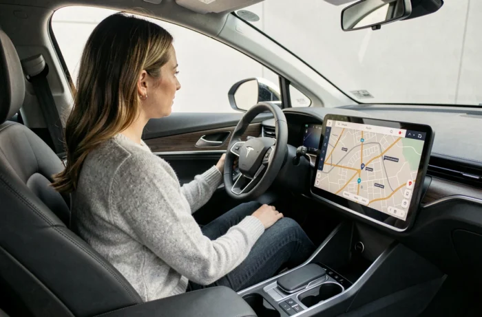
An electric vehicle route planner is not just about mapping a path between two points. It cross-references in real-time the battery charge level, the elevation of the route, the expected speed, and the availability of charging stations to propose a realistic journey, with stops calibrated to the nearest kilometer. This layer of calculation radically distinguishes electric navigation from thermal navigation.
Multi-objective routing: what an electric planner really calculates
Classic planners (Google Maps, Waze) optimize a single parameter, either time or distance. A planner designed for electric cars simultaneously integrates multiple variables that interact with each other.
The European project OPEVA formalized this approach in 2026 with a routing service called KT9, designed for last-mile deliveries. The algorithm minimizes energy consumption, travel time, and delays related to queues at charging stations. This type of calculation, known as multi-objective, is beginning to spread in consumer applications.
In practice, the software continuously evaluates the projected consumption based on topography, weather, and driving style. It then compares the available charging stations along the route, their power, their rates, and their occupancy levels. Rather than suggesting the nearest station when the battery is low, it anticipates a stop earlier or later to reduce the total travel time. The route calculation for electric cars with 1 Monde illustrates this logic by combining charging station management and remaining autonomy into a single journey.
Charging station densification in France: a game-changing parameter
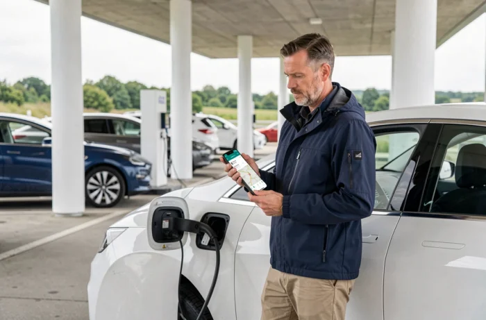
France had 154,694 public charging points open by the end of 2024, representing a 31% increase over one year according to L’Essentiel de l’Éco. This densification changes the very logic of planning.
With a tighter network, planners no longer only seek the nearest station along the shortest route. They can now propose alternatives that take secondary roads that are slower but lined with less busy stations, thus avoiding wait times.
Transforming charging stops into chosen stages
Densification reduces “white zones” on major corridors. Recent planners leverage this coverage to transform charging breaks into chosen stops: city centers to visit, rest areas with dining options, tourist points of interest. The forced thirty-minute stop becomes a useful break, changing the perception of travel time.
Price-optimized route: beyond time and distance
Automobile Propre reported in 2026 that a new planning engine offers a “price-optimized” route allowing savings of up to over 20% on the charging bill compared to the reference route. The calculation no longer simply minimizes kilometers or minutes.
To achieve these savings, the planner balances several trade-offs:
- Favoring medium-power stations (cheaper per kWh) even if it slightly lengthens the stop, rather than ultra-fast stations charged at a high rate.
- Offering a mix of highways and secondary roads to reduce consumption associated with high speeds, which decreases the number of necessary charges.
- Grouping stops on charging networks where the user’s subscription offers preferential rates.
This type of optimization assumes that the application knows the exact model of the vehicle, its charging curve, and the rates in effect on each network. Without this data, the calculation remains approximate.
Critical variables for reliable electric vehicle route calculation
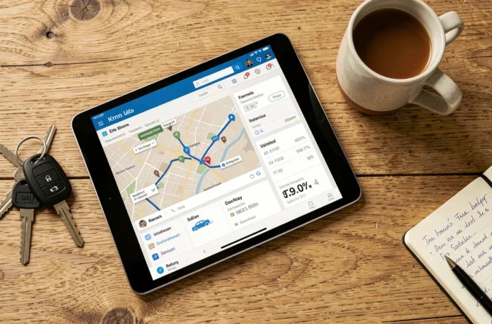
A planner is only useful if the data it uses is accurate. Several variables strongly influence the precision of the result.
- The vehicle model and its charging curve: two electric cars with the same nominal range do not charge at the same speed between 20% and 80%. A planner that does not know this curve overestimates or underestimates the duration of stops.
- Outside temperature: in cold weather, consumption significantly increases due to cabin heating and the chemical behavior of the battery. The most accurate planners incorporate the day’s weather forecasts.
- Driving style: sporty driving on the highway can reduce real range by a third compared to manufacturer estimates. Some applications adjust their projections after a few trips by learning the driver’s profile.
- The actual availability of charging stations: a station shown as free may be broken or occupied upon arrival. Community planners, powered by feedback from other drivers, offer superior reliability on this point.
Why the target charge threshold matters as much as range
Charging a battery from 10% to 80% takes much less time than from 80% to 100%. A good planner therefore calculates stops that keep the charge within this suitable range, even if it means multiplying short breaks rather than a single long stop. Arriving at each station with 10-15% and leaving at 60-80% reduces the total time spent charging on a long trip.
Electric navigation remains an exercise in compromise between time, cost, and comfort. Planning tools are rapidly advancing, driven by the densification of the charging network and algorithms that incorporate multiple objectives. The most underestimated factor remains the accuracy of vehicle data: correctly informing its model, battery version, and driving habits makes more of a difference than the choice of the application itself.